Colombia Welcomes Paragliders from All around the World
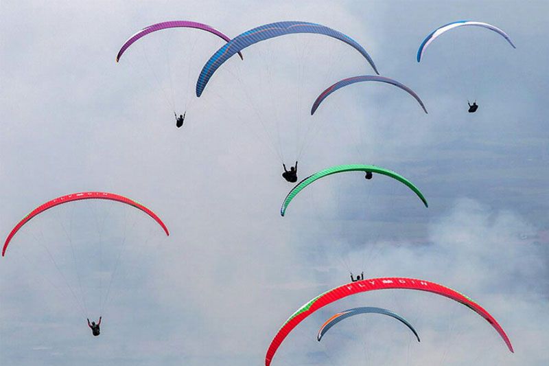
Flying conditions are generally ideal in January in the valley and only a handful of tasks over the past few years have been cancelled. Out and return and cats‐cradle type tasks of up to 120km have been successfully flown in recent events using goals to the north, centre and south of the Valle de Cauca.
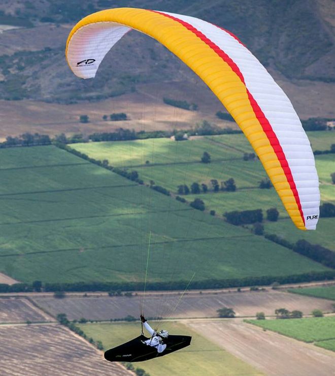
Primarily an agricultural region, the Valle de Cauca has excellent infrastructure and plenty of open space to land. Main highways runs along the east and west sides of the valley connected by secondary roads. The central valley area is bisected north‐south by the Cauca river. Agricultural roads and tracks provide access to farmsteads and plantations.
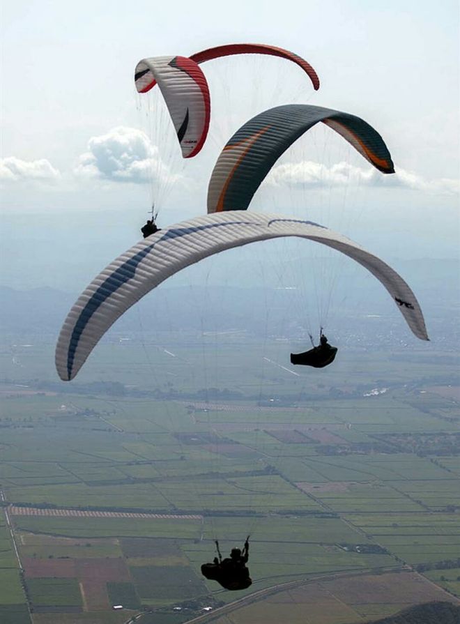
The task area is characterized by the foothills of the Cordillera Occidental to the west, the wide open agricultural valley and smaller grassy hills to the east. Primarily a sugar cane growing area, the valley is easily out‐landable in safety. Very few areas are fenced and access is generally unrestricted. Occasional inundation from the Cauca river presents the only landing hazard in certain areas (dependant on preceding rainfall).
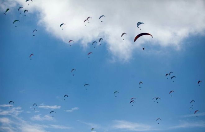
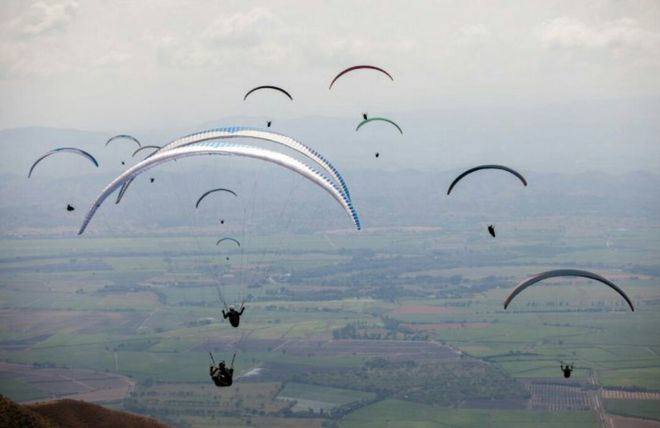
Grape plantations and military bases are off limits. These areas will be marked on maps. Goal fields are available in abundance although must be selected on the basis of the cropping and harvesting cycles. They will be defined and verified by the organization at least 2 weeks prior to the competition. More information on the vent can be found via organizer's webpage.
Photos: © Open FAI II Roldanillo Colombia
Source: http://www.todoriegocolombi1.wix.com/campeonato-nacional


