Travel the Czech Republic through the trails Via Czechia
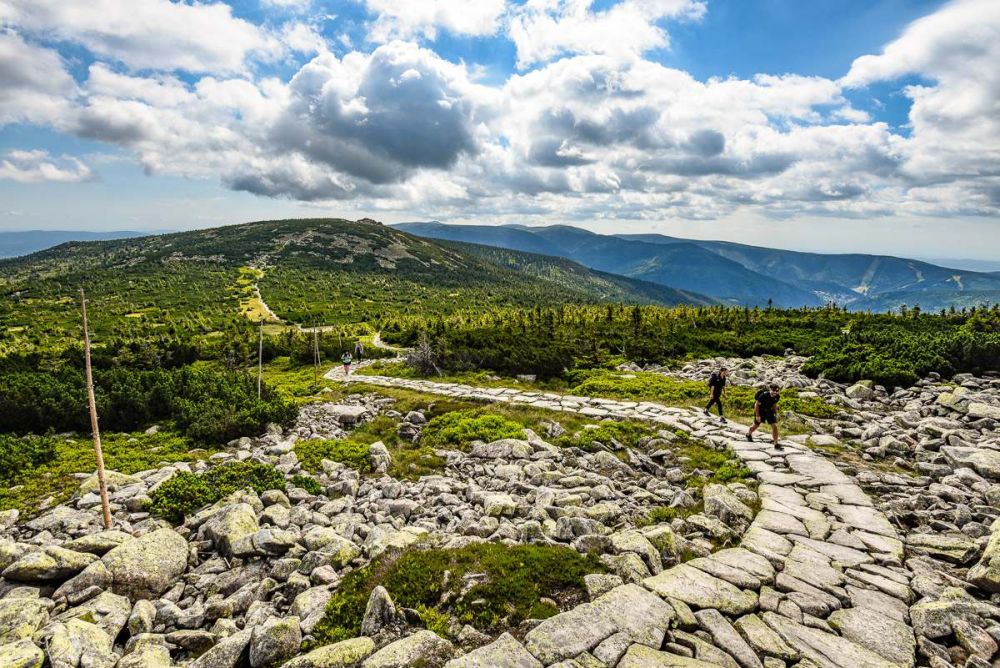
The longest trails of Czech provenance
The trails were created by Jan Hocek, a Czech photographer, traveler, and journalist, who has devoted the entire year 2020 to this project. Jan Hocek has traveled to over eighty countries around the world, from Greenland to Antarctica, but he has not forgotten about exploring the beauty of his homeland. After thorough theoretical preparation, last spring he set out to explore the Via Czechia trails and create a system of walking, cycling, and skiing trails that currently cover 5,280 km!!
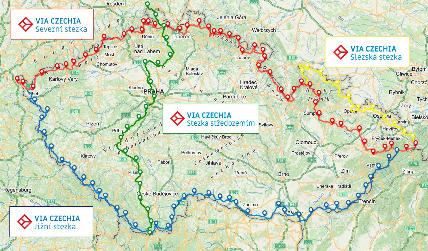
The North and South Via Czechia trails is a unique system of adventurous, thoroughly documented long-distance trails in our country, spanning between the westernmost and easternmost point of the Czech Republic, roughly copying the borderline, and leading all over the highest peaks of most of our mountains. The trails pass through nature as much as possible and lead to the most stunning, must-see places of each area.
The basic hiking version of the North Trail is 1058 km long and is divided into 47 daily sections with an average length of 20-25 km, always with the possibility of accommodation. The cycling version of the North Trail covers a total of 1140 km and offers 632 km of skiing trails, most of which are technically maintained. The slightly easier South Trail measures 1052 km and is divided into 44 daily legs. The cycling version of the South Trail measures a total of 1080 km and offers 319 km of cross-country trails for skiers.
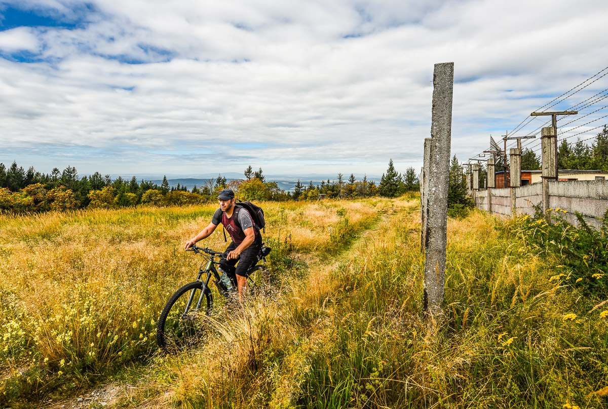
Complete the trails in one go or in parts
The Via Czechia trails are not just lines on a map, Jan Hocek has personally walked, biked, and skied them all and can guarantee that if you stick to them, you won’t miss any of the major sights of our border-line areas. You don’t even have to worry about their length because the trails are broken down into logical sections, the extreme points of which are easily accessible by public transport.
The routes are designed in such a way that each stage ends in a place that caters for tourists – quality accommodation is available at least every 20-25 km. In around half of the legs, you can find a campsite or an official trailer park.
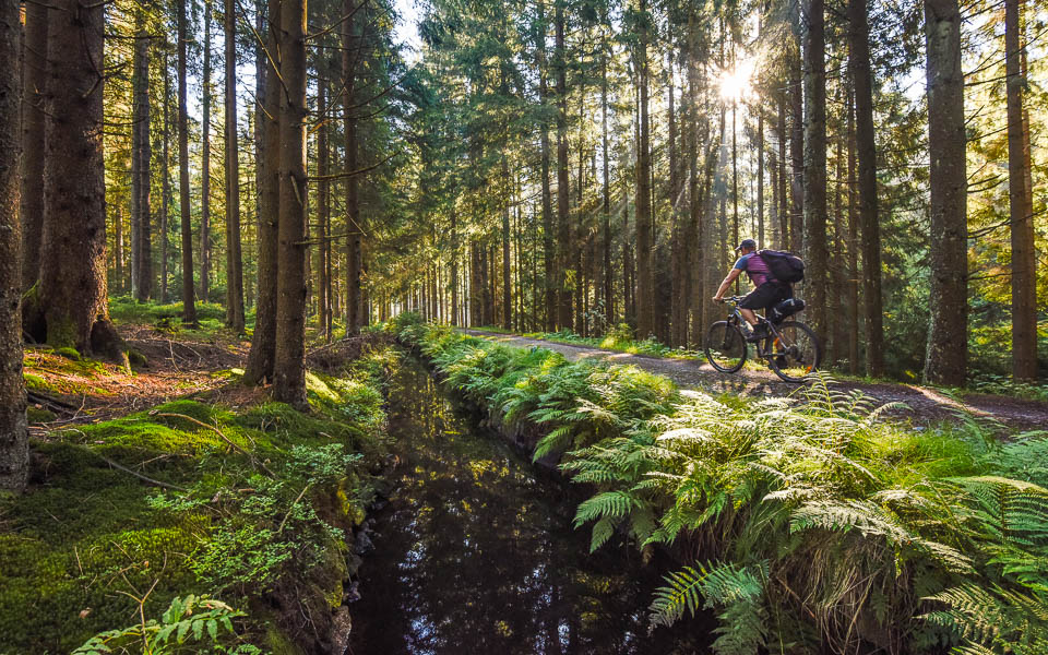
Each trail can be walked all at once or in parts, on foot, on bike or on skis, sleeping comfortably in guesthouses and mountain huts, or camping in beautiful places. A mountain bike or a track bike is ideal for the biking option. So, everyone can choose their favorite form of wandering or combine different activities according to the relief of the landscape or the season.
Book or a “Wanderer’s notebook”?
The author has made the main information about the trails available free of charge on the website www.viaczechia.cz, where you can find detailed online maps and also download all the stages as gpx files. Those interested can also listen to two two-hour lectures with lots of photos and maps. Via Czechia trails are gradually being adopted by major travel apps, e.g. On Bike and on Foot (the most used one in our country).
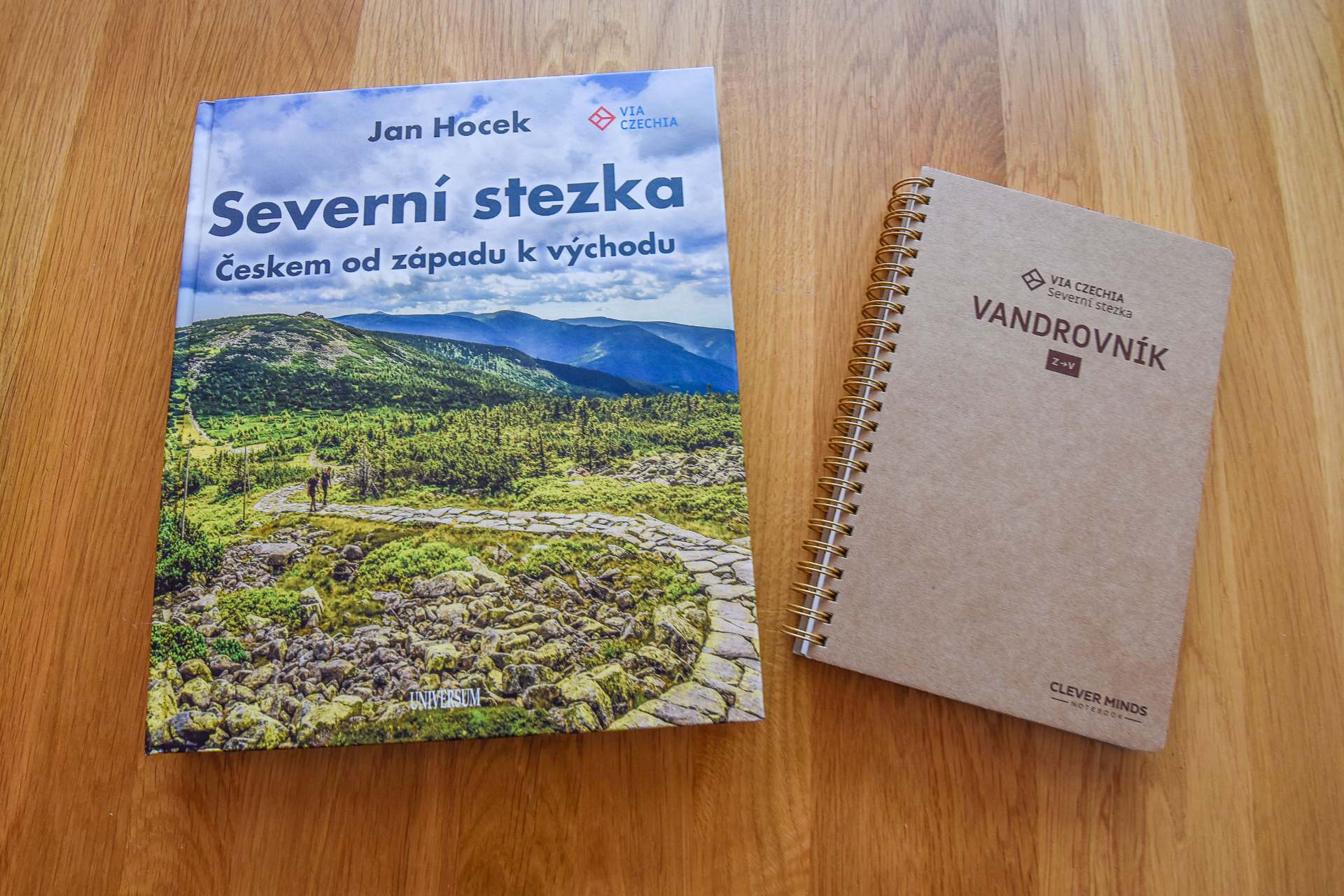
Two books about Via Czechia trails were published in 2021, with detailed descriptions of all stages, covering walking, biking, and skiing, and many beautiful photographs. You will also find maps of the trails with elevation profiles, recommended accommodation, or practical information for completing the trail, such as recommended equipment, clothing, maps, travel tips, etc.
You probably won’t be able to pack a thick book in your backpack, so Jan Hocek, together with the creator of Clever Minds notebooks, has prepared a stylish original “Wanderer’s notebook”. This one is smaller, and you can write notes, stamps, draw or stick tourist stamps in it.
Friendly places
Probably everyone has needed help in a difficult situation while traveling. You know – you run out of food or water, you get drenched to the bone including your sleeping bag and clothes, you lose your wallet, your bike breaks down... In such a moment you will appreciate selfless help from strangers. In Anglo-Saxon countries, they use the term “trail angel”, in the Czech, we would say that these are good souls who will help you on the road. However, it doesn’t necessarily have to be just help in an emergency, but also a kind of prevention – offer – say, services that can be used on a longer pilgrimage. Such a good soul or angel will be happy to help and for free, but certainly, there are services that are provided for a symbolic fee and are often “priceless”.
That is why the Via Czechia project has come up with the “Friendly Places” initiative to support travelers on the Via Czechia trails. Individuals, municipalities, information centers, tourist kiosks, campsites, guesthouses, or mountain lodges can join the project. Send to info@viaczechia.cz what you offer, we will include you in the itinerary, you will mark your place with your logo, can add it to your website, and significantly help those who have a long way to go across the country.
What specifically can be offered?
-
Potable water, often just by placing a few bottles behind a fence along the trail, or installing a water can with a tap, and maybe with a piggy bank
-
If you have land along the trail, a meadow, or a large garden, you can offer a safe place to bivouac, stay overnight in a garden hut or under a shelter
-
Some guesthouses and mountain lodges allow camping – those we know of have been included in the itinerary, others may join
-
Municipalities can help with shelter construction; we have already told you about the new shelter in Krásná
-
Offers of discounts for pilgrims (accommodation, food) may come from accommodation providers or restaurants, or kiosks
-
Service and repair of bicycles or scooters
-
Luggage transport, grocery shopping, and food delivery
-
Mobile phone recharging, dog food
-
... you can surely think of other possibilities
In the “partners” section, on the website www.viaczechia.cz you will find a logo to download that you can place on your website, on your front door, or even on your fence.
Interesting things to see on the Via Czechia routes
The oldest borderline stone
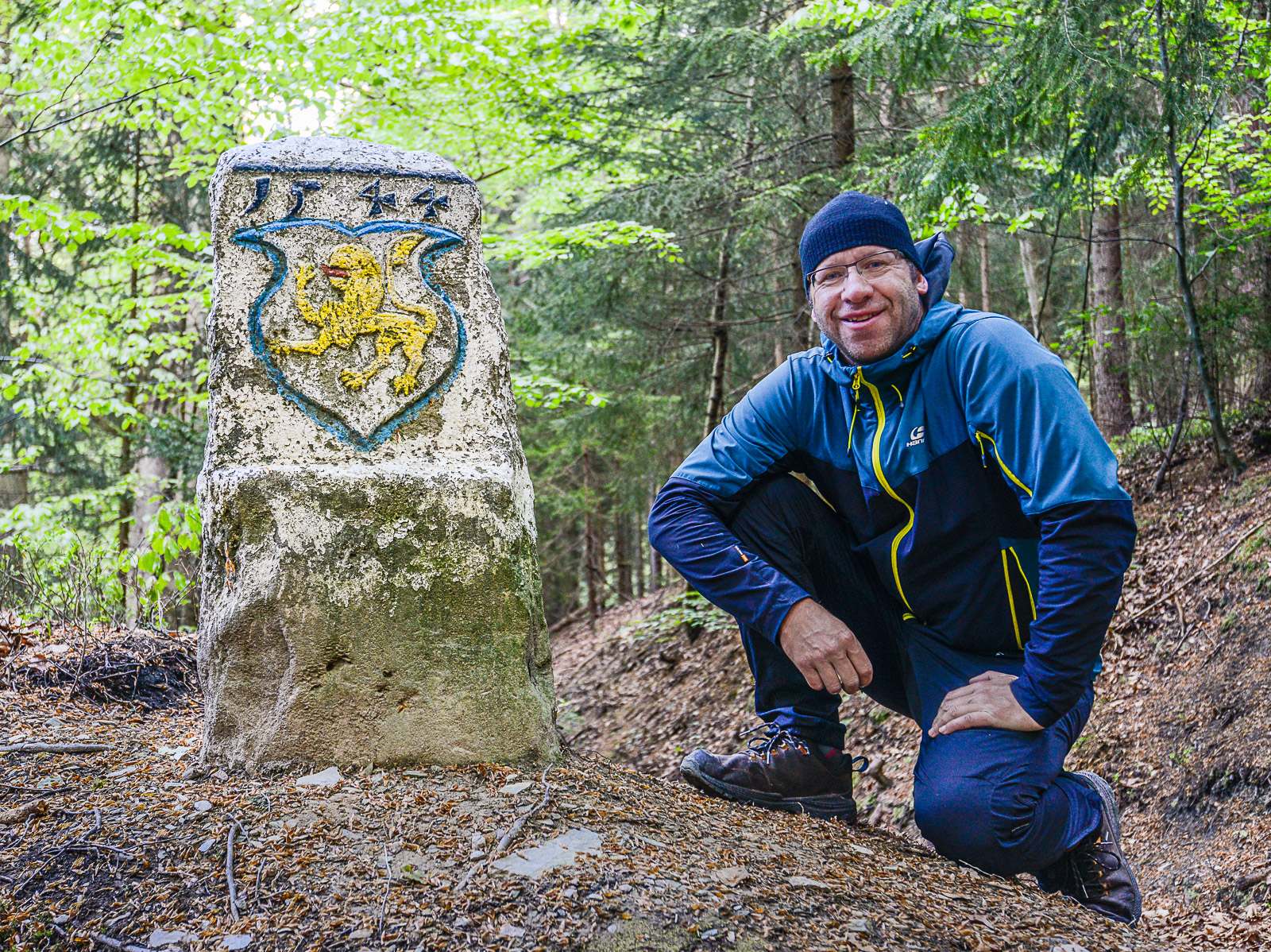
If you walked around our country along the borderline, you would cover exactly 2,327 kilometers. The border of the Czech Republic is marked with a total of 38,660 border markers, which are mostly verge posts, poles, and sometimes natural formations. The Via Czechia trails will lead you to many interesting borderline stones – whether they are decorated historical stones, triangular stones, or even a stone marking the center of Europe. Our oldest border “verge post” Juliusstein stands in the dense forests on the border of the Ore Mountains and the Fichtel Mountains, near the famous peak Vysoký kámen near the village of Kostelní. This unique and beautifully decorated stone dates back to 1544 and lies on Saxon territory, just a few dozen meters from the border on the slopes of Kuželka Hill.
One-thousanders
There are several hundred peaks in the Czech Republic exceeding the magic thousand-meter mark, 396 main, and 188 secondary peaks. With a few exceptions, all of these peaks are located in the borderline mountain ranges; in some mountain ranges, we can find many thousanders, while in others there is only one such solitary mountain. If you follow the Via Bohemia trails, you will reach seventy of these peaks or their close proximity - 50 of them are on the North Trail and twenty on the South Trail. You won’t miss the westernmost thousander, Zaječí Mountain, nor the easternmost one, which is Velký Polom in the Beskids. You will also reach Meluzina, the wildest thousander of the Ore Mountains. You will be rewarded with an unusual view of the Klínovec massif, and you can also enjoy the sight of the wooden statue of Meluzina, which has adorned the peak since 2020.
Places of pilgrimage
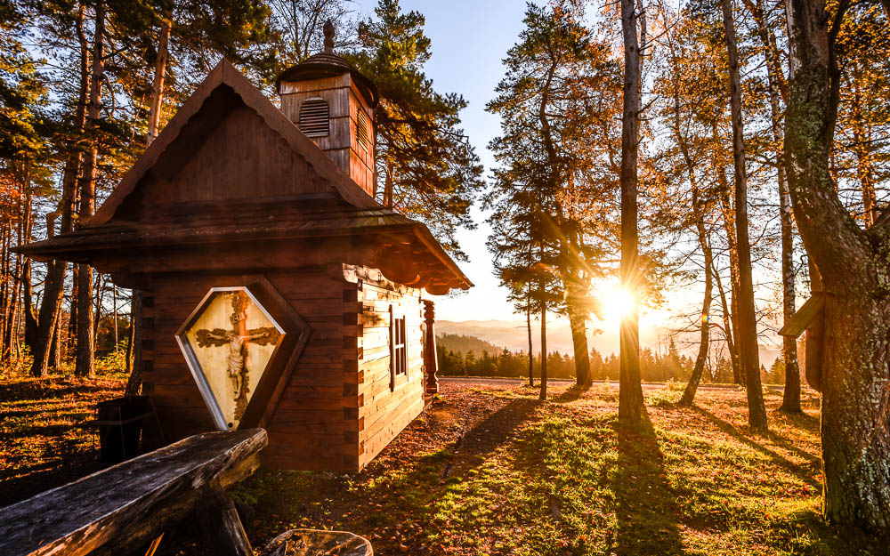
Wandering shouldn’t just be a sporting performance. Jan Hocek gave the Via Czechia trails a spiritual dimension by leading them through important and lesser-known pilgrimage sites. You can rest not only at monumental monasteries such as Hejnice, Dobrá voda, or the Mountain of the Mother of God near Králíky, but also at less spectacular places, wells with miraculous springs or rock chapels. After all, there is no need to travel to Santiago when we have so many interesting pilgrimage sites!
The Beer Chart
A trip across the Czech Republic is actually a tour of domestic breweries. As you travel from west to east, it is not only the folk architecture or the dialect of the natives that changes but also the repertoire of hoppy drinks on offer. With a bit of exaggeration, it can be said that if you were dropped off in unfamiliar terrain, you would know where you are by the brands of beer on offer. In the Giant Mountains, you can try the mountain breweries on the Giant Mountain Beer Trail – Fries, paroháč, or Trautenberk. Perhaps the most unforgettable sight is the sight of dewy cans of Holba beer, cooled by the stream in the Forest Bar in the Golden Mountains. The east of the country is then taken over by Radegast – at first, this brand makes a modest appearance among many other beers, but later the bartenders strongly recommend it and just before Rožnov you will feel that to have anything else would feel like an insult to locals!
Via Czechia on Adrex Places
You can search for all the important points on the trail using the Adrex Places app, where you can find all the important points of the North and South Trail in the “ultra hiking” section.
Why should you download the Adrex Places app if you are going on the Via Czechia?
-
The app is multisport and will work for you well in the future2
-
The app contains all important points on the North and South Trail with additional information and links
-
The app enables navigation to individual spots
-
By adding a photo to a spot, I document my presence and progress along the trail
-
If I want to participate in the project, I can help with updating information, adding new photos and videos, commenting, rating, or even adding new spots on the trail
-
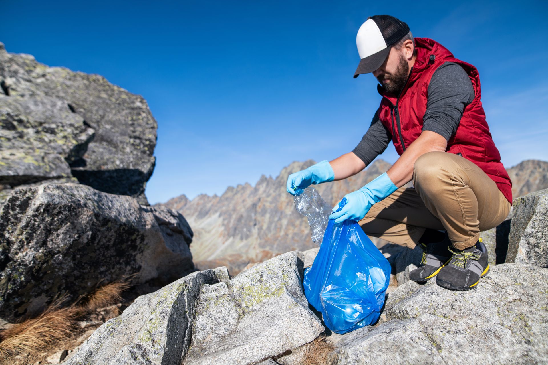
The app helps with cleaning up places – Adrex Places Cleanup is an integral part of the app
Text and photo: Jan Hocek


